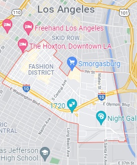
Map of Fashion District, Los Angeles, CA. Streets, roads and houses in Fashion District
USA / California / Los AngelesLos Angeles Fashion District is a famous neighborhood in the southern part of LA, which became a business improvement district and grew to contain over 4000 stores. This map shows a scheme of Fashion District streets, including major sites,
highways and natural objecsts. Move the center of this map by dragging your mouse.
Zoom in or out using the plus/minus panel.
Also check out the satellite map of Fashion District.
Please share the link with friends and neighbors:
Share on Facebook
Share on WhatsApp
Share on Telegram
Share on Facebook
Share on WhatsApp
Share on Telegram
An image of Fashion District
Check out some more maps of Los Angeles neighborhoods:
This online Fashion District map of Los Angeles is provided by Bing Maps.
Please add a bookmark (press CTRL+D to add) and share the page with your friends!
© 2024 City maps and famous places