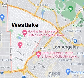
Map of Westlake, Los Angeles, CA. Streets, roads and houses in Westlake
USA / California / Los AngelesWestlake District is a neighborhood in central Los Angeles with 108 thousand residents. It features some well-preserved early XX century historic buildings. This map shows a scheme of Westlake streets, including major sites,
highways and natural objecsts. Move the center of this map by dragging your mouse.
Zoom in or out using the plus/minus panel.
Also check out the satellite map of Westlake.
Please share the link with friends and neighbors:
Share on Facebook
Share on WhatsApp
Share on Telegram
Share on Facebook
Share on WhatsApp
Share on Telegram
An image of Westlake
Check out some more maps of Los Angeles neighborhoods:
This online Westlake map of Los Angeles is provided by Bing Maps.
Please add a bookmark (press CTRL+D to add) and share the page with your friends!
© 2024 City maps and famous places