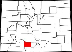
The borders of Rio Grande County over the map of Colorado
Explore some more counties of Colorado:
- Yuma County
- Weld County
- Washington County
- Teller County
- Summit County
- Sedgwick County
- San Miguel County
- San Juan County
- Saguache County
- Routt County
- Rio Blanco County
- Pueblo County
- Prowers County
- Pitkin County
- Phillips County
- Park County
- Ouray County
- Otero County
- Morgan County
- Montrose County
Full list of Colorado maps
This online map of Rio Grande County, Colorado is provided by Bing Maps. Please add a bookmark and share the page with your friends!