The exact coordinates of Natchez Mississippi for your GPS track:
Latitude 31.560251 North, Longitude 91.403198 West.
Please share the link with friends and neighbors:
Share on Facebook
Share on WhatsApp
Share on Telegram
Share on Facebook
Share on WhatsApp
Share on Telegram
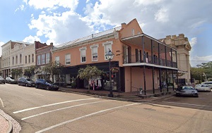
An image of Natchez
More city maps of Mississippi:
- Map of Olive Branch
Olive Branch, Mississippi is a nice suburban city of Memphis TN, located in DeSoto County. Olive B... - Map of Clinton
Clinton is a city located in Hinds County, Mississippi, United States. Clinton is home to Mississi... - Map of Starkville
Starkville, Mississippi is a lovely city located in Oktibbeha County. Starkville is home to Missis... - Map of Hernando
Hernando, Mississippi is a lovely city and the county seat of DeSoto County. It is situated in the... - Map of Midnight
Midnight, Mississippi is a small unincorporated settlement located in Humphreys County, along Miss... - Map of Moss Point
Moss Point, Mississippi is a city found in Jackson County, known for its outdoor activities and na... - Map of Flowood
Flowood is a city located in Rankin County, Mississippi. It is a suburb of Jackson, the state capi...
Full list of Mississippi maps
This online map of Natchez, Mississippi is provided by Bing Maps. Please add a bookmark and share the page with your friends!