The exact coordinates of Butte Montana for your GPS track:
Latitude 46.004589 North, Longitude 112.534508 West.
Please share the link with friends and neighbors:
Share on Facebook
Share on WhatsApp
Share on Telegram
Share on Facebook
Share on WhatsApp
Share on Telegram
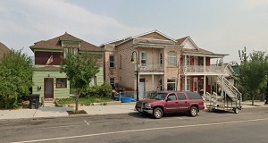
An image of Butte
More city maps of Montana:
Full list of Montana maps
This online map of Butte, Montana is provided by Bing Maps. Please add a bookmark and share the page with your friends!