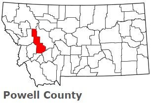
The borders of Powell County over the map of Montana
Explore some more counties of Montana:
- Yellowstone County
- Wibaux County
- Wheatland County
- Valley County
- Treasure County
- Toole County
- Teton County
- Sweet Grass County
- Stillwater County
- Silver Bow County
- Sheridan County
- Sanders County
- Rosebud County
- Roosevelt County
- Richland County
- Ravalli County
- Prairie County
- Powder River County
- Pondera County
- Phillips County
Full list of Montana maps
This online map of Powell County, Montana is provided by Bing Maps. Please add a bookmark and share the page with your friends!