The exact coordinates of Cedar Grove New Jersey for your GPS track:
Latitude 40.852833 North, Longitude 74.22963 West.
Please share the link with friends and neighbors:
Share on Facebook
Share on WhatsApp
Share on Telegram
Share on Facebook
Share on WhatsApp
Share on Telegram
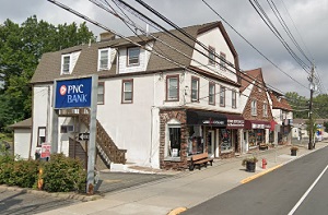
An image of Cedar Grove
More city maps of New Jersey:
- Map of Paterson
Paterson, New Jersey is a city located on the northwestern outskirts of New York City. It has a po... - Map of Toms River
Toms River is a mid-sized township in Ocean County of New Jersey. It has a population of over 91 t... - Map of Union City
Union City, New Jersey is an excellent city located in Hudson County on the opposite bank to Manha... - Map of Jackson
Jackson, New Jersey is a prominent township situated in Ocean County. The total population of Jack... - Map of Perth Amboy
Perth Amboy, New Jersey is a coastal city located about 30 miles south to NYC, in Middlesex County... - Map of West New York
West New York, New Jersey is a beautiful town situated in Hudson County, on the western bank of th... - Map of Union Township
Union Township, New Jersey is a nice town located in Union County. Incorporated on November 23, 18... - Map of West Orange
West Orange, New Jersey is a suburban township located in Essex County. The township covers an are... - Map of Hackensack
Hackensack, New Jersey is a charming city located in Bergen County. Hackensack is located in north... - Map of Berkeley Township
Berkeley, New Jersey is a dynamic township located in Ocean County. Berkeley was originally settle... - Map of Teaneck
Teaneck, New Jersey is an adorable township located in Bergen County. Teaneck was originally settl... - Map of Atlantic City
Atlantic City is a lovely resort city located on the Atlantic coast of New Jersey. Atlantic City i... - Map of Ewing Township
Ewing, New Jersey is a shining township located in Mercer County. Ewing township stands in central... - Map of Garfield
Garfield is a city in Bergen County, New Jersey. It is located approximately 10 miles west of New ... - Map of Westfield
Westfield, New Jersey is an adorable town located in Union County, 20 miles southwest of New York ... - Map of West Windsor
West Windsor, New Jersey is a charming township located in Mercer County, about 10 miles east of T... - Map of Bergenfield
Bergenfield is a borough located in Bergen County, New Jersey. It stands approximately 14 miles no...
Full list of New Jersey maps
This online map of Cedar Grove, New Jersey is provided by Bing Maps. Please add a bookmark and share the page with your friends!