The exact coordinates of Gallup New Mexico for your GPS track:
Latitude 35.527271 North, Longitude 108.742462 West.
Please share the link with friends and neighbors:
Share on Facebook
Share on WhatsApp
Share on Telegram
Share on Facebook
Share on WhatsApp
Share on Telegram
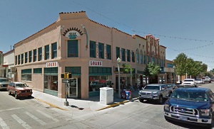
An image of Gallup
More city maps of New Mexico:
- Map of Hobbs
Hobbs, New Mexico is a heavenly city situated in Lea County. Today Hobbs is populated by 40 thousa... - Map of Deming
Deming, New Mexico is a wonderful city located in Luna County. It stands in the southwestern part... - Map of North Valley
North Valley is a community located in Bernalillo County, New Mexico. It is an unincorporated area...
Full list of New Mexico maps
This online map of Gallup, New Mexico is provided by Bing Maps. Please add a bookmark and share the page with your friends!