The exact coordinates of Hobbs New Mexico for your GPS track:
Latitude 32.700756 North, Longitude 103.136208 West.
Please share the link with friends and neighbors:
Share on Facebook
Share on WhatsApp
Share on Telegram
Share on Facebook
Share on WhatsApp
Share on Telegram
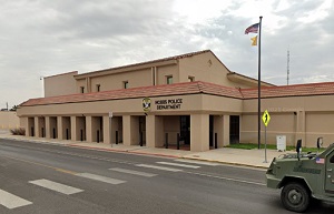
An image of Hobbs
More city maps of New Mexico:
- Map of Gallup
Gallup, New Mexico is a pleasant city and the county seat of McKinley County. The population of Ga... - Map of Deming
Deming, New Mexico is a wonderful city located in Luna County. It stands in the southwestern part... - Map of North Valley
North Valley is a community located in Bernalillo County, New Mexico. It is an unincorporated area...
Full list of New Mexico maps
This online map of Hobbs, New Mexico is provided by Bing Maps. Please add a bookmark and share the page with your friends!