The exact coordinates of Mustang Oklahoma for your GPS track:
Latitude 35.384312 North, Longitude 97.724609 West.
Please share the link with friends and neighbors:
Share on Facebook
Share on WhatsApp
Share on Telegram
Share on Facebook
Share on WhatsApp
Share on Telegram
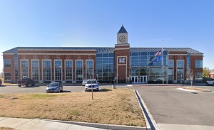
An image of Mustang
More city maps of Oklahoma:
- Map of Lawton
Lawton, Oklahoma (founded 1901) is a city located about 90 miles southwest to Oklahoma City. The p... - Map of Midwest City
Midwest City, Oklahoma is a nice suburban city located on the eastern edge of Oklahoma City. Midwe... - Map of Muskogee
Muskogee, Oklahoma is a beautiful city situated about 50 miles southeast to Tulsa. Today Muskogee ... - Map of Yukon
Yukon, Oklahoma is a lovely city located in Canadian County. It is situated about 15 miles west of... - Map of Altus
The city of Altus, Oklahoma is the county seat of Jackson County. It is nested in the southwestern... - Map of Tahlequah
Tahlequah, Oklahoma is a pleasant city found in Cherokee County. It serves as the capital of the C... - Map of Choctaw
Choctaw, Oklahoma is a charming city found in eastern Oklahoma County. Choctaw is situated just ea... - Map of Guthrie
Guthrie, Oklahoma is a city located in Logan County. It has a rich history and is known for its hi...
Full list of Oklahoma maps
This online map of Mustang, Oklahoma is provided by Bing Maps. Please add a bookmark and share the page with your friends!