The exact coordinates of Aberdeen South Dakota for your GPS track:
Latitude 45.462906 North, Longitude 98.486214 West.
Please share the link with friends and neighbors:
Share on Facebook
Share on WhatsApp
Share on Telegram
Share on Facebook
Share on WhatsApp
Share on Telegram
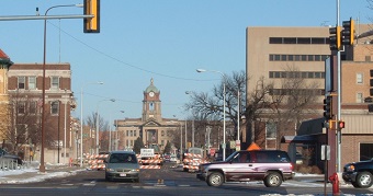
An image of Aberdeen
More city maps of South Dakota:
- Map of Mitchell
Mitchell, South Dakota is a shining city located in the southeastern part of the state. It is the ... - Map of Box Elder
Box Elder is a city located in Pennington County, South Dakota. It is a growing community situated...
Full list of South Dakota maps
This online map of Aberdeen, South Dakota is provided by Bing Maps. Please add a bookmark and share the page with your friends!