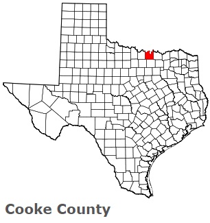
The borders of Cooke County over the map of Texas
Explore some more counties of Texas:
- Zavala County
- Zapata County
- Young County
- Yoakum County
- Wood County
- Wise County
- Winkler County
- Wilson County
- Williamson County
- Willacy County
- Wilbarger County
- Wichita County
- Wheeler County
- Wharton County
- Webb County
- Washington County
- Ward County
- Waller County
- Walker County
- Victoria County
Full list of Texas maps
This online map of Cooke County, Texas is provided by Bing Maps. Please add a bookmark and share the page with your friends!