Please share the link with friends and neighbors:
Share on Facebook
Share on WhatsApp
Share on Telegram
Share on Facebook
Share on WhatsApp
Share on Telegram
Cheaha State Park is listed in:
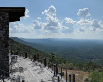
Image of Cheaha State Park:
Check out some more famous and interesting places on our planet:
- Hurricane Ian
- Amalfi Coast
- Doheny State Beach
- The border between Europe and Asia
- Cape Canaveral
- Komodo island
- Iguazu Falls
- Jeju Island
- Ha Long Bay
- Cumbre Vieja
- Oak Mountain State Park
- Gulf State Park
- Cape of Good Hope
- Uluru
- Mount Rainier
- Tenerife
- Alcatraz Island
- Jewel Cave
- Bering Strait
- Aliso Canyon
This satellite map of Cheaha State Park is provided by Bing Maps.
Please add a bookmark and share the page with your friends!