Please share the link with friends and neighbors:
Share on Facebook
Share on WhatsApp
Share on Telegram
Share on Facebook
Share on WhatsApp
Share on Telegram
Staten Island is listed in:
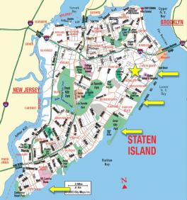
Image of Staten Island:
Check out some more famous and interesting places on our planet:
- Komodo island
- Pelee Island
- Greenland
- Tenerife
- Governors Island
- New Caledonia
- Alcatraz Island
- Cuba
- Bermuda
- Aruba
- Guadeloupe
- Dominica
- Ireland
- Cape Verde
- Papua New Guinea
- Rhodes
- Haiti
- Crete
- Phuket
- Corfu
This online map of Staten Island is provided by OpenStreetMap.
Please add a bookmark and share the page with your friends!