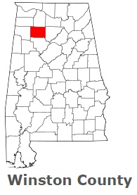
The borders of Winston County over the map of Alabama
Explore some more counties of Alabama:
- Wilcox County
- Washington County
- Walker County
- Tuscaloosa County
- Tallapoosa County
- Talladega County
- Sumter County
- Shelby County
- St. Clair County
- Russell County
- Randolph County
- Pike County
- Pickens County
- Perry County
- Morgan County
- Montgomery County
- Monroe County
- Mobile County
- Marshall County
- Marion County
Full list of Alabama maps
This online map of Winston County, Alabama is provided by Bing Maps. Please add a bookmark and share the page with your friends!