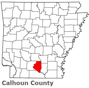
The borders of Calhoun County over the map of Arkansas
Explore some more counties of Arkansas:
- Yell County
- Woodruff County
- White County
- Washington County
- Van Buren County
- Union County
- Stone County
- Sharp County
- Sevier County
- Sebastian County
- Searcy County
- Scott County
- Saline County
- St. Francis County
- Randolph County
- Pulaski County
- Prairie County
- Pope County
- Polk County
- Poinsett County
Full list of Arkansas maps
This online map of Calhoun County, Arkansas is provided by Bing Maps. Please add a bookmark and share the page with your friends!