The exact coordinates of Lebanon Connecticut for your GPS track:
Latitude 41.636192 North, Longitude 72.212532 West.
Share on Facebook
Share on WhatsApp
Share on Telegram
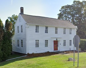
An image of Lebanon

More city maps of Connecticut:
- Map of Stamford
Stamford, Connecticut is a city located within the Greater New York metropolitan area. The populat... - Map of New Britain
New Britain, incorporated in 1871, is a city located to the southwest of Hartford. The 8th largest... - Map of Fairfield
Fairfield is a town located on the Gold Coast of Connecticut. The population of Fairfield exceeds ... - Map of Manchester
Manchester, Connecticut is a town with 57 thousand residents, founded in 1672 and named after much... - Map of Southington
Southington, Connecticut is a breathtaking town situated in Hartford County. Southington is home ... - Map of Trumbull
Trumbull, Connecticut is a superb town located in Fairfield County. Trumbull is populated these da... - Map of Vernon
Vernon, Connecticut is an exceptional town situated in Tolland County. The approximate population ... - Map of East Haven
East Haven, Connecticut is an outstanding suburban town of New Haven with 28 thousand residents. I... - Map of South Windsor
South Windsor, Connecticut (incorporated in 1845) is a splendid town situated near Hartford. South... - Map of Windham
Windham, Connecticut is an outstanding town located in Windham County, about 32 miles east to Hart... - Map of Bloomfield
Bloomfield, Connecticut is a splendid suburban town of Hartford. Incorporated on May 28, 1835, Blo... - Map of Ansonia
Ansonia, Connecticut is a wonderful city situated in New Haven County. Incorporated back in 1893, ... - Map of Wilton
Wilton is a town in Fairfield County, Connecticut. It is located in the southwestern part of the s... - Map of Brookfield
Brookfield is a town in Fairfield County, Connecticut, United States. It is located in the western... - Map of Suffield
Suffield, Connecticut is a shining town located in Hartford County. Today Suffield is home to 16 t... - Map of Cromwell
Cromwell, Connecticut is a hilarious town situated in Middlesex County, about 15 miles south of Ha... - Map of New Fairfield
New Fairfield is a town located in Fairfield County, Connecticut. It is situated in the western pa...
Full list of Connecticut maps
This online map of Lebanon, Connecticut is provided by Bing Maps. Please add a bookmark and share the page with your friends!
