The exact coordinates of Claymont Delaware for your GPS track:
Latitude 39.799053 North, Longitude 75.459625 West.
Please share the link with friends and neighbors:
Share on Facebook
Share on WhatsApp
Share on Telegram
Share on Facebook
Share on WhatsApp
Share on Telegram
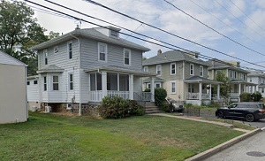
An image of Claymont
More city maps of Delaware:
- Map of Bear
Bear is a CDP in North Delaware with 20 thousand inhabitants. It is located in New Castle County, ... - Map of Brookside
Brookside, Delaware is a census-designated place (CDP) located in New Castle County. It is a subur... - Map of Millsboro
Millsboro, Delaware is a shining town in Sussex County, which is known for its coastal communities...
Full list of Delaware maps
This online map of Claymont, Delaware is provided by Bing Maps. Please add a bookmark and share the page with your friends!