The exact coordinates of Hockessin Delaware for your GPS track:
Latitude 39.787811 North, Longitude 75.696899 West.
Please share the link with friends and neighbors:
Share on Facebook
Share on WhatsApp
Share on Telegram
Share on Facebook
Share on WhatsApp
Share on Telegram
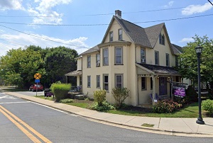
An image of Hockessin
More city maps of Delaware:
- Map of Seaford
Seaford is a city located in Sussex County, Delaware. It stands in the southern part of the state ... - Map of Pike Creek
Pike Creek, Delaware is an adorable community located in New Castle County, in the northern part o...
Full list of Delaware maps
This online map of Hockessin, Delaware is provided by Bing Maps. Please add a bookmark and share the page with your friends!