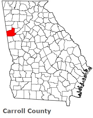
The borders of Carroll County over the map of Georgia
Explore some more counties of Georgia:
- Worth County
- Wilkinson County
- Wilkes County
- Wilcox County
- Whitfield County
- White County
- Wheeler County
- Webster County
- Wayne County
- Washington County
- Warren County
- Ware County
- Walton County
- Walker County
- Upson County
- Union County
- Twiggs County
- Turner County
- Troup County
- Treutlen County
Full list of Georgia maps
This online map of Carroll County, Georgia is provided by Bing Maps. Please add a bookmark and share the page with your friends!