Map of Bridgeport, Chicago, IL. Streets, roads and houses in Bridgeport
USA / Illinois / ChicagoBridgeport is an ethnically diverse neighborhood in central Chicago, on the South Side, bordered by Chicago river. This map shows a scheme of Bridgeport streets, including major sites,
highways and natural objecsts. Move the center of this map by dragging your mouse.
Zoom in or out using the plus/minus panel.
Also check out the satellite map of Bridgeport.
Please share the link with friends and neighbors:
Share on Facebook
Share on WhatsApp
Share on Telegram
Share on Facebook
Share on WhatsApp
Share on Telegram
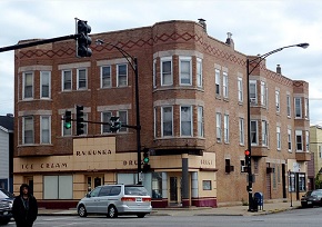
An image of Bridgeport
Check out some more maps of Chicago neighborhoods:
This online Bridgeport map of Chicago is provided by Bing Maps.
Please add a bookmark (press CTRL+D to add) and share the page with your friends!
© 2024 City maps and famous places