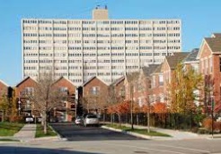
An image of Cabrini-Green
Check out some more satellite maps of Chicago neighborhoods:
This online Cabrini-Green map of Chicago is provided by Bing Maps.
Please add a bookmark (press CTRL+D to add) and share the page with your friends!
This is an updated satellite map of Cabrini-Green, Chicago, including major sites,
highways and natural objecsts. Move the center of this map by dragging your mouse.
Zoom in or out using the plus/minus panel.
Also check out the street map of Cabrini-Green.
An image of Cabrini-Green
This online Cabrini-Green map of Chicago is provided by Bing Maps.
Please add a bookmark (press CTRL+D to add) and share the page with your friends!
© 2024 City maps and famous places