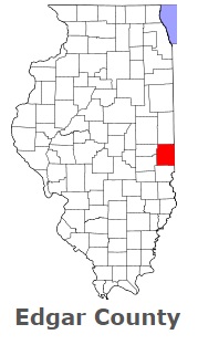
The borders of Edgar County over the map of Illinois
Explore some more counties of Illinois:
- Woodford County
- Winnebago County
- Williamson County
- Will County
- Whiteside County
- White County
- Wayne County
- Washington County
- Warren County
- Wabash County
- Vermilion County
- Union County
- Tazewell County
- Stephenson County
- Stark County
- St. Clair County
- Shelby County
- Scott County
- Schuyler County
- Sangamon County
Full list of Illinois maps
This online map of Edgar County, Illinois is provided by Bing Maps. Please add a bookmark and share the page with your friends!