The borders of Nantucket County over the map of Massachusetts
Explore some more counties of Massachusetts:
- Plymouth County
- Norfolk County
- Hampshire County
- Hampden County
- Franklin County
- Dukes County
- Bristol County
- Berkshire County
- Barnstable County
- Suffolk County
- Essex County
- Worcester County
- Middlesex County
Full list of Massachusetts maps
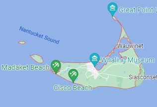
This online map of Nantucket County, Massachusetts is provided by Bing Maps. Please add a bookmark and share the page with your friends!