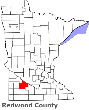
The borders of Redwood County over the map of Minnesota
Explore some more counties of Minnesota:
- Yellow Medicine County
- Wright County
- Winona County
- Wilkin County
- Watonwan County
- Washington County
- Waseca County
- Wadena County
- Wabasha County
- Traverse County
- Todd County
- Swift County
- Stevens County
- Steele County
- Stearns County
- Sibley County
- Sherburne County
- Scott County
- Saint Louis County
- Roseau County
Full list of Minnesota maps
This online map of Redwood County, Minnesota is provided by Bing Maps. Please add a bookmark and share the page with your friends!