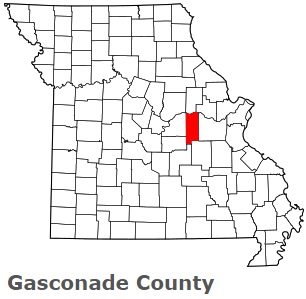
The borders of Gasconade County over the map of Missouri
Explore some more counties of Missouri:
- Wright County
- Worth County
- Webster County
- Wayne County
- Washington County
- Warren County
- Vernon County
- Texas County
- Taney County
- Sullivan County
- Stone County
- Stoddard County
- Shelby County
- Shannon County
- Scott County
- Scotland County
- Schuyler County
- Saline County
- Sainte Genevieve County
- Saint Francois County
Full list of Missouri maps
This online map of Gasconade County, Missouri is provided by Bing Maps. Please add a bookmark and share the page with your friends!