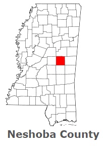
The borders of Neshoba County over the map of Mississippi
Explore some more counties of Mississippi:
- Yazoo County
- Yalobusha County
- Winston County
- Wilkinson County
- Webster County
- Wayne County
- Washington County
- Warren County
- Walthall County
- Union County
- Tunica County
- Tishomingo County
- Tippah County
- Tate County
- Tallahatchie County
- Sunflower County
- Stone County
- Smith County
- Simpson County
- Sharkey County
Full list of Mississippi maps
This online map of Neshoba County, Mississippi is provided by Bing Maps. Please add a bookmark and share the page with your friends!