The exact coordinates of Artesia New Mexico for your GPS track:
Latitude 32.842171 North, Longitude 104.403122 West.
Please share the link with friends and neighbors:
Share on Facebook
Share on WhatsApp
Share on Telegram
Share on Facebook
Share on WhatsApp
Share on Telegram
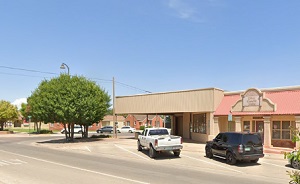
An image of Artesia
More city maps of New Mexico:
- Map of Albuquerque
Albuquerque is the largest city of New Mexico with population of more than half a million people.... - Map of Farmington
Farmington, New Mexico is a fascinating city found in San Juan County. The population of Farmingto... - Map of Alamogordo
Alamogordo, New Mexico is an adorable city and the county seat of Otero County. Incorporated in 19... - Map of Sunland Park
Sunland Park is a city located in Doña Ana County, New Mexico. It stands in the southwestern part...
Full list of New Mexico maps
This online map of Artesia, New Mexico is provided by Bing Maps. Please add a bookmark and share the page with your friends!