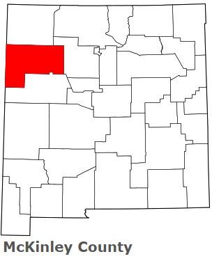
The borders of McKinley County over the map of New Mexico
Explore some more counties of New Mexico:
- Valencia County
- Union County
- Torrance County
- Taos County
- Socorro County
- Sierra County
- Santa Fe County
- San Miguel County
- San Juan County
- Sandoval County
- Roosevelt County
- Rio Arriba County
- Quay County
- Otero County
- Mora County
- Luna County
- Los Alamos County
- Lincoln County
- Lea County
- Hidalgo County
Full list of New Mexico maps
This online map of McKinley County, New Mexico is provided by Bing Maps. Please add a bookmark and share the page with your friends!