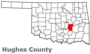
The borders of Hughes County over the map of Oklahoma
Explore some more counties of Oklahoma:
- Woodward County
- Woods County
- Washita County
- Washington County
- Wagoner County
- Tulsa County
- Tillman County
- Texas County
- Stephens County
- Sequoyah County
- Seminole County
- Rogers County
- Roger Mills County
- Pushmataha County
- Pottawatomie County
- Pontotoc County
- Pittsburg County
- Payne County
- Pawnee County
- Ottawa County
Full list of Oklahoma maps
This online map of Hughes County, Oklahoma is provided by Bing Maps. Please add a bookmark and share the page with your friends!