The exact coordinates of Astoria Oregon for your GPS track:
Latitude 46.188499 North, Longitude 123.831757 West.
Please share the link with friends and neighbors:
Share on Facebook
Share on WhatsApp
Share on Telegram
Share on Facebook
Share on WhatsApp
Share on Telegram
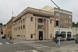
An image of Astoria
More city maps of Oregon:
- Map of Eugene
Eugene, Oregon is a city located south to Portland on Interstate 5 highway. The population of Euge... - Map of Aloha
Aloha, Oregon is a dynamic suburban city of Portland, located in Washington County. Today Aloha is... - Map of Redmond
Redmond, Oregon is a nice city situated in Deschutes County. Today Redmond is populated by 36 thou... - Map of Happy Valley
Happy Valley, Oregon is a charming city standing southeast of Portland in Clackamas County. The po... - Map of Ashland
Ashland, Oregon is a dynamic city located in Jackson County. Settled in 1852, today Ashland is hom... - Map of Lebanon
Lebanon, Oregon is a charming city found in Linn County. It stands in the Willamette Valley region... - Map of Four Corners
Four Corners, Oregon is a beautiful suburban CDP located in Marion County, about 3 miles east of S... - Map of La Grande
La Grande is a city located in Union County, Oregon. It stands in the northeastern part of the sta... - Map of Oak Hills
Oak Hills, Oregon is an adorable unincorporated community and a census-designated place located in... - Map of Prineville
Prineville, Oregon is a wonderful city situated in Crook County. It stands in Central Oregon and i...
Full list of Oregon maps
This online map of Astoria, Oregon is provided by Bing Maps. Please add a bookmark and share the page with your friends!