The exact coordinates of Tiverton Rhode Island for your GPS track:
Latitude 41.625954 North, Longitude 71.211647 West.
Please share the link with friends and neighbors:
Share on Facebook
Share on WhatsApp
Share on Telegram
Share on Facebook
Share on WhatsApp
Share on Telegram
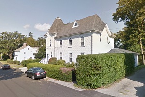
An image of Tiverton
More city maps of Rhode Island:
- Map of Providence
Providence is the Capital city of Rhode Island and also its most populous city. It is located in P... - Map of Pawtucket
Pawtucket, Rhode Island is a northern suburb of Providence with 75 thousand residents. It was foun... - Map of Cumberland
Cumberland, Rhode Island is an old nice town situated in Providence County. Incorporated back in 1... - Map of Lincoln
Lincoln, Rhode Island (founded in 1871) is a charming town found in Providence County. The populat... - Map of Warren
Warren, Rhode Island is a shining town located in Bristol County. It stands along the eastern shor...
Full list of Rhode Island maps
This online map of Tiverton, Rhode Island is provided by Bing Maps. Please add a bookmark and share the page with your friends!