The exact coordinates of Clarksville Tennessee for your GPS track:
Latitude 36.530067 North, Longitude 87.353317 West.
Please share the link with friends and neighbors:
Share on Facebook
Share on WhatsApp
Share on Telegram
Share on Facebook
Share on WhatsApp
Share on Telegram
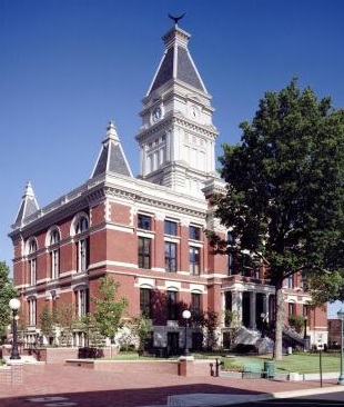
An image of Clarksville
More city maps of Tennessee:
- Map of Nashville
Nashville is a capital city of Tennessee. It's an important healthcare and education center.... - Map of Franklin
Franklin, Tennessee is a city in Williamson County, located 20 miles south of Nashville. The popul... - Map of Hendersonville
Hendersonville, Tennessee (incorporated 1901) is a city on the northeastern outskirts of Nashville... - Map of Spring Hill
Spring Hill, Tennessee is a cool city situated about 35 miles south of Nashville. Incorporated in ... - Map of Columbia
Columbia, Tennessee is the county seat of Maury County. The city stands 46 miles southwest to Nash... - Map of Cookeville
Cookeville, Tennessee is the county seat of Putnam County. The city stands 80 miles east to Nashvi... - Map of Farragut
Farragut, Tennessee is a lovely suburban city of Knoxville. Incorporated in 1980, today Farragut i... - Map of Dickson
Dickson, Tennessee is a charming city in Dickson County. It is situated in the central part of the... - Map of Powell
Powell is an unincorporated community located in Knox County, Tennessee. It stands in the northeas... - Map of Portland
Portland, Tennessee is a wonderful city situated in Sumner County. It stands in the northern part ... - Map of Red Bank
Red Bank is a city located in Hamilton County, Tennessee. It's a small suburban community located ... - Map of Collegedale
Collegedale, Tennessee is an adorable city located in Hamilton County. It sits in the southeastern...
Full list of Tennessee maps
This online map of Clarksville, Tennessee is provided by Bing Maps. Please add a bookmark and share the page with your friends!