The exact coordinates of Orange Texas for your GPS track:
Latitude 30.098 North, Longitude 93.738358 West.
Please share the link with friends and neighbors:
Share on Facebook
Share on WhatsApp
Share on Telegram
Share on Facebook
Share on WhatsApp
Share on Telegram
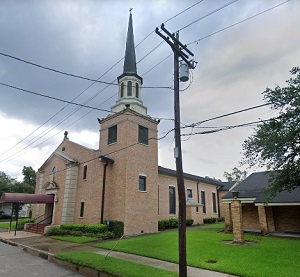
An image of Orange
More city maps of Texas:
- Map of Arlington
Arlington is a city located in the state of Texas, in the United States. It is located in Tarrant ... - Map of Corpus Christi
Corpus Christi is a city in the U.S. state of Texas, located on the Gulf Coast about 150 miles sou... - Map of Lubbock
Lubbock is a city in the U.S. state of Texas, located in Lubbock County. The city has a population... - Map of Houston
Houston is the biggest Texas city and fourth-largest city of the US. The population of Houston, we... - Map of San Antonio
San Antonio is the second largest city in Texas (1.43 million inhabitants) and seventh largest nat... - Map of McKinney
McKinney is a city in northern Texas, just north to Dallas, with 202 thousand inhabitants. The cit... - Map of Midland
Midland is a city located in western Texas, it is a county seat of Midland County with 124 thousan... - Map of Beaumont
Beaumont is a city located in the Golden Triangle, a large industrial area in eastern Texas. The p... - Map of Odessa
Odessa, Texas is a fast-growing city in the western part of the state with over 114 thousand inhab... - Map of Tyler
Tyler, Texas is a mid-size city located 100 miles east to Dallas. Tyler is a county seat of of Smi... - Map of Mission
Mission is a city on the southern tip of Texas, in Hidalgo County. It was incorporated in 1910 and... - Map of Baytown
Baytown is a coastal city in southern Texas with 77 thousand residents. It was incorporated in 194... - Map of Victoria
The city of Victoria, Texas (founded 1824) is the county seat of Victoria County. The population o... - Map of Euless
Euless, Texas is a positive city located in Tarrant County, to the immediate south of DFW airport.... - Map of Galveston
Galveston, Texas is a wonderful city situated on an island near Houston. Galveston is populated no... - Map of Little Elm
Little Elm, Texas is an impressive city located about 32 miles north to Dallas, in Denton County. ... - Map of Huntsville
The city of Huntsville, Texas is the county seat of Walker County. The approximate population of H...
Full list of Texas maps
This online map of Orange, Texas is provided by Bing Maps. Please add a bookmark and share the page with your friends!