The exact coordinates of Barre Vermont for your GPS track:
Latitude 44.19725 North, Longitude 72.501221 West.
Please share the link with friends and neighbors:
Share on Facebook
Share on WhatsApp
Share on Telegram
Share on Facebook
Share on WhatsApp
Share on Telegram
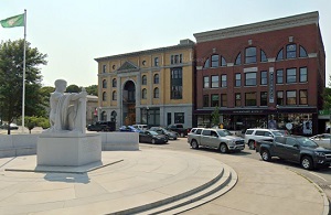
An image of Barre
More city maps of Vermont:
- Map of Milton
Milton is a town located in Chittenden County, Vermont. It stands in the northwestern part of the ...
Full list of Vermont maps
This online map of Barre, Vermont is provided by Bing Maps. Please add a bookmark and share the page with your friends!