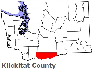
The borders of Klickitat County over the map of Washington
Explore some more counties of Washington:
- Yakima County
- Whitman County
- Whatcom County
- Walla Walla County
- Wahkiakum County
- Thurston County
- Stevens County
- Spokane County
- Skamania County
- Skagit County
- San Juan County
- Pend Oreille County
- Pacific County
- Okanogan County
- Mason County
- Lincoln County
- Lewis County
- Kittitas County
- Kitsap County
- Jefferson County
Full list of Washington maps
This online map of Klickitat County, Washington is provided by Bing Maps. Please add a bookmark and share the page with your friends!