The exact coordinates of South Lakes Alaska for your GPS track:
Latitude 61.585117 North, Longitude 149.359985 West.
Share on Facebook
Share on WhatsApp
Share on Telegram
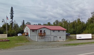
An image of South Lakes

More city maps of Alaska:
- Map of Knik-Fairview
Knik-Fairview is a census-designated place located in the Matanuska-Susitna Borough of Alaska. Kni... - Map of Kalifornsky
Kalifornsky, Alaska is a beautiful CDP located in Kenai Peninsula Borough. The area is known for i... - Map of Chena Ridge
Chena Ridge, Alaska is a lovely residential neighborhood located near Fairbanks, which is the seco...
Distances from South Lakes, Alaska:
- Distance between South Lakes and Knik-Fairview
- Distance between South Lakes and Kalifornsky
- Distance between South Lakes and Chena Ridge
Full list of Alaska maps
This online map of South Lakes, Alaska is provided by Bing Maps. Please add a bookmark and share the page with your friends!
