Levy County on the map of Florida 2026. Cities, roads, borders and directions in Levy County of Florida.
USA / Florida / Levy CountyLevy County is situated on the Gulf coast of sunny Florida. This awesome county was formed back in 1845. The county's total area is 1118 square miles. The county is home to 44 thousand people. The county seat of Levy County is Bronson. This map shows the borders of Levy County as well as neighboring counties, including major highways and natural objecsts as of 2026. Zoom in or out of the map using the plus/minus panel. Move the center of this map by dragging it. Also check out the satellite map of Levy County.
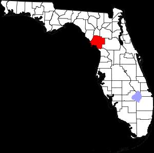
The borders of Levy County over the map of Florida
Explore some more counties of Florida:
- Washington County
- Walton County
- Wakulla County
- Volusia County
- Union County
- Taylor County
- Suwannee County
- Sumter County
- Seminole County
- Sarasota County
- Santa Rosa County
- St. Lucie County
- St. Johns County
- Putnam County
- Polk County
- Pasco County
- Osceola County
- Okeechobee County
- Okaloosa County
- Nassau County
Full list of Florida maps
This online map of Levy County, Florida is provided by Bing Maps. Please add a bookmark and share the page with your friends!
© 2026 City maps and famous places