Hancock County on the map of Georgia 2026. Cities, roads, borders and directions in Hancock County of Georgia.
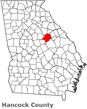
USA / Georgia / Hancock CountyHancock County is situated in the eastern area of Georgia. This wonderful county is named after John Hancock (1737-93), President of the Continental Congress; first signer of the Declaration of Independence. The area of Hancock County is about 473 square miles. This county, created in 1793, is populated today by 9 thousand residents. Sparta is the county seat of Hancock County. This map shows the borders of Hancock County as well as neighboring counties, including major highways and natural objecsts as of 2026. Zoom in or out of the map using the plus/minus panel. Move the center of this map by dragging it. Also check out the satellite map of Hancock County.
The borders of Hancock County over the map of Georgia
Explore some more counties of Georgia:
- Worth County
- Wilkinson County
- Wilkes County
- Wilcox County
- Whitfield County
- White County
- Wheeler County
- Webster County
- Wayne County
- Washington County
- Warren County
- Ware County
- Walton County
- Walker County
- Upson County
- Union County
- Twiggs County
- Turner County
- Troup County
- Treutlen County
Full list of Georgia maps
This online map of Hancock County, Georgia is provided by Bing Maps. Please add a bookmark and share the page with your friends!
© 2026 City maps and famous places