The exact coordinates of Aiea Hawaii for your GPS track:
Latitude 21.379936 North, Longitude 157.93222 West.
Please share the link with friends and neighbors:
Share on Facebook
Share on WhatsApp
Share on Telegram
Share on Facebook
Share on WhatsApp
Share on Telegram
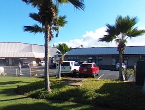
An image of Aiea
More city maps of Hawaii:
- Map of Kaneohe
Kaneohe, Hawaii is a charming town located on the eastern shore of the island of Oahu in the state... - Map of Kihei
Kihei is a town located on the southwestern coast of the island of Maui in the state of Hawaii. It... - Map of Ocean Pointe
Ocean Pointe is a residential community located on the southwestern coast of the island of Oahu in... - Map of Waianae
Waianae, Hawaii is a lovely community located on the west coast of the island of Oahu. It is known... - Map of Hawaiian Paradise Park
Hawaiian Paradise Park, Hawaii is a wonderful residential community located on the eastern side of...
Full list of Hawaii maps
This online map of Aiea, Hawaii is provided by Bing Maps. Please add a bookmark and share the page with your friends!