The exact coordinates of Kaiminani Hawaii for your GPS track:
Latitude 19.723301 North, Longitude 156.015869 West.
Please share the link with friends and neighbors:
Share on Facebook
Share on WhatsApp
Share on Telegram
Share on Facebook
Share on WhatsApp
Share on Telegram
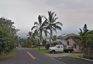
An image of Kaiminani
More city maps of Hawaii:
- Map of Honolulu
Honolulu is the capital and largest city of the state of Hawaii, located on the island of Oahu. It... - Map of Hilo
Hilo is a beautiful town located on the eastern side of the Big Island of Hawaii, which is also kn... - Map of Ewa Gentry
Ewa Gentry, Hawaii is a beautiful planned residential community located on the southwestern part o... - Map of Mililani Mauka
Mililani Mauka is a residential community located on the island of Oahu, Hawaii. It is part of the... - Map of Wailuku
Wailuku, Hawaii is a charming town located on the island of Maui. It serves as the county seat of ... - Map of Waimalu
Waimalu, Hawaii is a charming residential neighborhood located in the city of Aiea, which is on th... - Map of Waihee-Waiehu
Waihee-Waiehu, Hawaii is a census-designated place located in Maui County. Waihee and Waiehu are ... - Map of Haiku-Pauwela
Haiku-Pauwela, Hawaii is a census-designated place located in Maui County. Haiku-Pauwela is known ...
Distances from Kaiminani, Hawaii:
- Distance between Kaiminani and Honolulu
- Distance between Kaiminani and Hilo
- Distance between Kaiminani and Ewa Gentry
- Distance between Kaiminani and Mililani Mauka
- Distance between Kaiminani and Wailuku
- Distance between Kaiminani and Waimalu
- Distance between Kaiminani and Waihee-Waiehu
- Distance between Kaiminani and Haiku-Pauwela
Full list of Hawaii maps
This online map of Kaiminani, Hawaii is provided by Bing Maps. Please add a bookmark and share the page with your friends!