The exact coordinates of Creston Iowa for your GPS track:
Latitude 41.058537 North, Longitude 94.362381 West.
Please share the link with friends and neighbors:
Share on Facebook
Share on WhatsApp
Share on Telegram
Share on Facebook
Share on WhatsApp
Share on Telegram
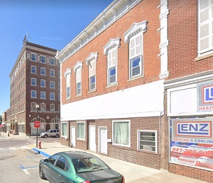
An image of Creston
More city maps of Iowa:
- Map of Waterloo
Waterloo is the sixth-largest city in Iowa with 68 thousand inhabitants. Waterloo stands upon both... - Map of Council Bluffs
Council Bluffs, incorporated 1853, is a city in southwest Iowa, standing on Missouri River, right ... - Map of Ankeny
Ankeny Iowa is a suburb of Des Moines with 67 thousand residents. It is located in Polk County, ab... - Map of Marion
Marion, Iowa is a nice suburban city of Cedar Rapids, located in Linn County. Marion is home to 42... - Map of Waukee
Waukee, Iowa is a wonderful city situated in Dallas County. Founded in 1869, today Waukee is popul... - Map of Burlington
Burlington, Iowa is a city located in Des Moines County, Iowa, United States. It is situated along... - Map of Grimes
Grimes, Iowa is a lovely city located in Dallas and Polk counties. It is a suburb of Des Moines, t... - Map of Storm Lake
Storm Lake is a shining city situated in northwestern Iowa, and is the county seat of Buena Vista ... - Map of Carroll
Carroll, Iowa is a city located in west-central Iowa, and is the county seat of Carroll County. Ca... - Map of Fairfield
Fairfield is a city located in Jefferson County, southeastern Iowa. It gained prominence as a cent... - Map of Perry
Perry is a city located in Dallas County, in central Iowa. Historically, Perry's economy has been ... - Map of Atlantic
The city of Atlantic is the county seat of Cass County, in southwestern Iowa. Historically, Atlant... - Map of Maquoketa
Maquoketa is a city located in Jackson County, in eastern Iowa, about 35 miles north of the city o... - Map of Estherville
Estherville is a city in Emmet County, located in northwestern Iowa, near the border with Minnesot... - Map of Red Oak
Red Oak is a city in Montgomery County, southwestern Iowa. The local economy of Red Oak may have t... - Map of Centerville
Centerville, Iowa is a city that serves as the county seat of Appanoose County. It is situated in ... - Map of Windsor Heights
Windsor Heights is a city in Polk County, Iowa. Windsor Heights is a suburb of Des Moines, the cap...
Full list of Iowa maps
This online map of Creston, Iowa is provided by Bing Maps. Please add a bookmark and share the page with your friends!