The exact coordinates of Eagle Idaho for your GPS track:
Latitude 43.695194 North, Longitude 116.352646 West.
ZIP codes for Eagle:
83616
Please share the link with friends and neighbors:
Share on Facebook
Share on WhatsApp
Share on Telegram
Share on Facebook
Share on WhatsApp
Share on Telegram
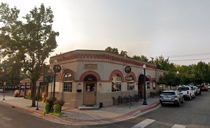
An image of Eagle
More city maps of Idaho:
- Map of Hayden
Hayden is a city located in Kootenai County, in the northern part of Idaho, near the border with W... - Map of Star
Star, Idaho is a city located in Ada County, near the border with Canyon County. Star is a small c... - Map of Payette
Payette is a city located in southwestern Idaho, in Payette County, near the Oregon-Idaho state li... - Map of Weiser
Weiser is a city located in western Idaho. It is the county seat of Washington County standing alo...
This online map of Eagle, Idaho is provided by Bing Maps. Please add a bookmark and share the page with your friends!