The exact coordinates of Emmett Idaho for your GPS track:
Latitude 43.874603 North, Longitude 116.498726 West.
Please share the link with friends and neighbors:
Share on Facebook
Share on WhatsApp
Share on Telegram
Share on Facebook
Share on WhatsApp
Share on Telegram
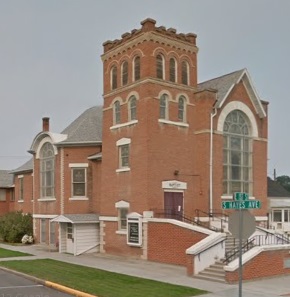
An image of Emmett
More city maps of Idaho:
- Map of Pocatello
Pocatello (established 1889) is the fifth largest city in Idaho with 57 thousand residents. Pocate... - Map of Sun Valley
Sun Valley, Idaho is a small resort city in Wood River valley. Sun Valley is best known for the "S... - Map of Twin Falls
Twin Falls, Idaho is a nice city located near Snake River Canyon, in Falls County. Twin Falls is h... - Map of Kuna
Kuna, Idaho is a beautiful city situated 18 miles southwest of downtown Boise, in Ada County. Toda... - Map of Jerome
Jerome, Idaho is a city located in Jerome County, in the southern part of the state, near the bord... - Map of Middleton
Middleton is a beautiful city located in southwestern Idaho. It stands in Canyon County, which is ... - Map of Rigby
Rigby is a city located in eastern Idaho. It is the county seat of Jefferson County. Rigby is know...
Full list of Idaho maps
This online map of Emmett, Idaho is provided by Bing Maps. Please add a bookmark and share the page with your friends!