The exact coordinates of Kimberly Idaho for your GPS track:
Latitude 42.533978 North, Longitude 114.364784 West.
Please share the link with friends and neighbors:
Share on Facebook
Share on WhatsApp
Share on Telegram
Share on Facebook
Share on WhatsApp
Share on Telegram
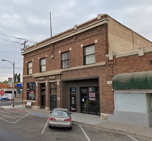
An image of Kimberly
More city maps of Idaho:
- Map of Nampa
Nampa is a fast growing city in Idaho, 20 miles west of Boise, with a population of 97 thousand pe... - Map of Coeur d'Alene
Coeur d'Alene is a city in North Idaho with 54 thousand residents. It is the county seat of Kooten... - Map of Rexburg
Rexburg, Idaho is a modern city and the county seat of Madison County. Today Rexburg is populated ... - Map of Mountain Home
Mountain Home, Idaho is a city located in Elmore County, in the southwestern part of the state, ne... - Map of Garden City
Garden City, Idaho is a city located in Ada County, in the southwestern part of the state, adjacen... - Map of Sandpoint
Sandpoint is a wonderful city situated in northern Idaho. It is the largest city in Bonner County ... - Map of Rupert
Rupert is a city located in south-central Idaho. It is the county seat of Minidoka County and is s...
Full list of Idaho maps
This online map of Kimberly, Idaho is provided by Bing Maps. Please add a bookmark and share the page with your friends!