The exact coordinates of Bangor Maine for your GPS track:
Latitude 44.804596 North, Longitude 68.772812 West.
Please share the link with friends and neighbors:
Share on Facebook
Share on WhatsApp
Share on Telegram
Share on Facebook
Share on WhatsApp
Share on Telegram
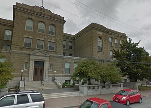
An image of Bangor
More city maps of Maine:
- Map of Scarborough
Scarborough, Maine is a lovely town located in Cumberland County. Incorporated back in 1658, now S... - Map of Augusta
Augusta is the capital city of the state of Maine. It is located in Kennebec County, along the Ken... - Map of Falmouth
Falmouth, Maine is a shining town located in Cumberland County. It stands on the southern coast of... - Map of Kittery
Kittery is a town located in York County, Maine. It stands on the southern coast of Maine, near th... - Map of Cape Elizabeth
Cape Elizabeth, Maine is a wonderful coastal town situated in Cumberland County. Cape Elizabeth is... - Map of Freeport
Freeport, Maine is a charming town located in Cumberland County. It's known for its coastal beauty... - Map of Gray
Gray, Maine is a charming town located in Cumberland County. It sits about 20 miles northwest of P...
Distances from Bangor, Maine:
- Distance between Bangor and Scarborough
- Distance between Bangor and Augusta
- Distance between Bangor and Falmouth
- Distance between Bangor and Kittery
- Distance between Bangor and Cape Elizabeth
- Distance between Bangor and Freeport
- Distance between Bangor and Gray
Full list of Maine maps
This online map of Bangor, Maine is provided by Bing Maps. Please add a bookmark and share the page with your friends!