The exact coordinates of Kalispell Montana for your GPS track:
Latitude 48.201862 North, Longitude 114.316582 West.
Please share the link with friends and neighbors:
Share on Facebook
Share on WhatsApp
Share on Telegram
Share on Facebook
Share on WhatsApp
Share on Telegram
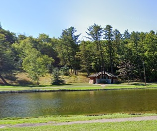
An image of Kalispell
More city maps of Montana:
- Map of Great Falls
Great Falls is the third largest city in Montana with almost 60 thousand inhabitants. It is often ...
Full list of Montana maps
This online map of Kalispell, Montana is provided by Bing Maps. Please add a bookmark and share the page with your friends!