The exact coordinates of Jamestown North Dakota for your GPS track:
Latitude 46.910622 North, Longitude 98.708321 West.
Please share the link with friends and neighbors:
Share on Facebook
Share on WhatsApp
Share on Telegram
Share on Facebook
Share on WhatsApp
Share on Telegram
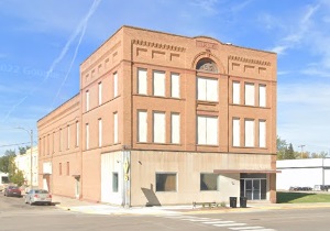
An image of Jamestown
More city maps of North Dakota:
- Map of Fargo
Fargo is the largest city in the state of North Dakota and is located in the eastern part of the s... - Map of Williston
Williston, North Dakota is a stylish city and the county seat of Williams County. The population o...
Full list of North Dakota maps
This online map of Jamestown, North Dakota is provided by Bing Maps. Please add a bookmark and share the page with your friends!