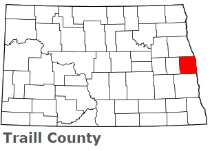
The borders of Traill County over the map of North Dakota
Explore some more counties of North Dakota:
- Williams County
- Wells County
- Ward County
- Walsh County
- Towner County
- Stutsman County
- Steele County
- Stark County
- Slope County
- Sioux County
- Sheridan County
- Sargent County
- Rolette County
- Richland County
- Renville County
- Ransom County
- Ramsey County
- Pierce County
- Pembina County
- Oliver County
Full list of North Dakota maps
This online map of Traill County, North Dakota is provided by Bing Maps. Please add a bookmark and share the page with your friends!