The exact coordinates of Beatrice Nebraska for your GPS track:
Latitude 40.266796 North, Longitude 96.746704 West.
Please share the link with friends and neighbors:
Share on Facebook
Share on WhatsApp
Share on Telegram
Share on Facebook
Share on WhatsApp
Share on Telegram
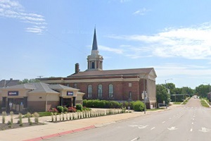
An image of Beatrice
More city maps of Nebraska:
- Map of Grand Island
Grand Island is a city in central Nebraska with 51 thousand residents. Founded in 1857 by German s... - Map of Hastings
Hastings, Nebraska is a dynamic city and the county seat of Adams County. The population of Hastin...
Full list of Nebraska maps
This online map of Beatrice, Nebraska is provided by Bing Maps. Please add a bookmark and share the page with your friends!